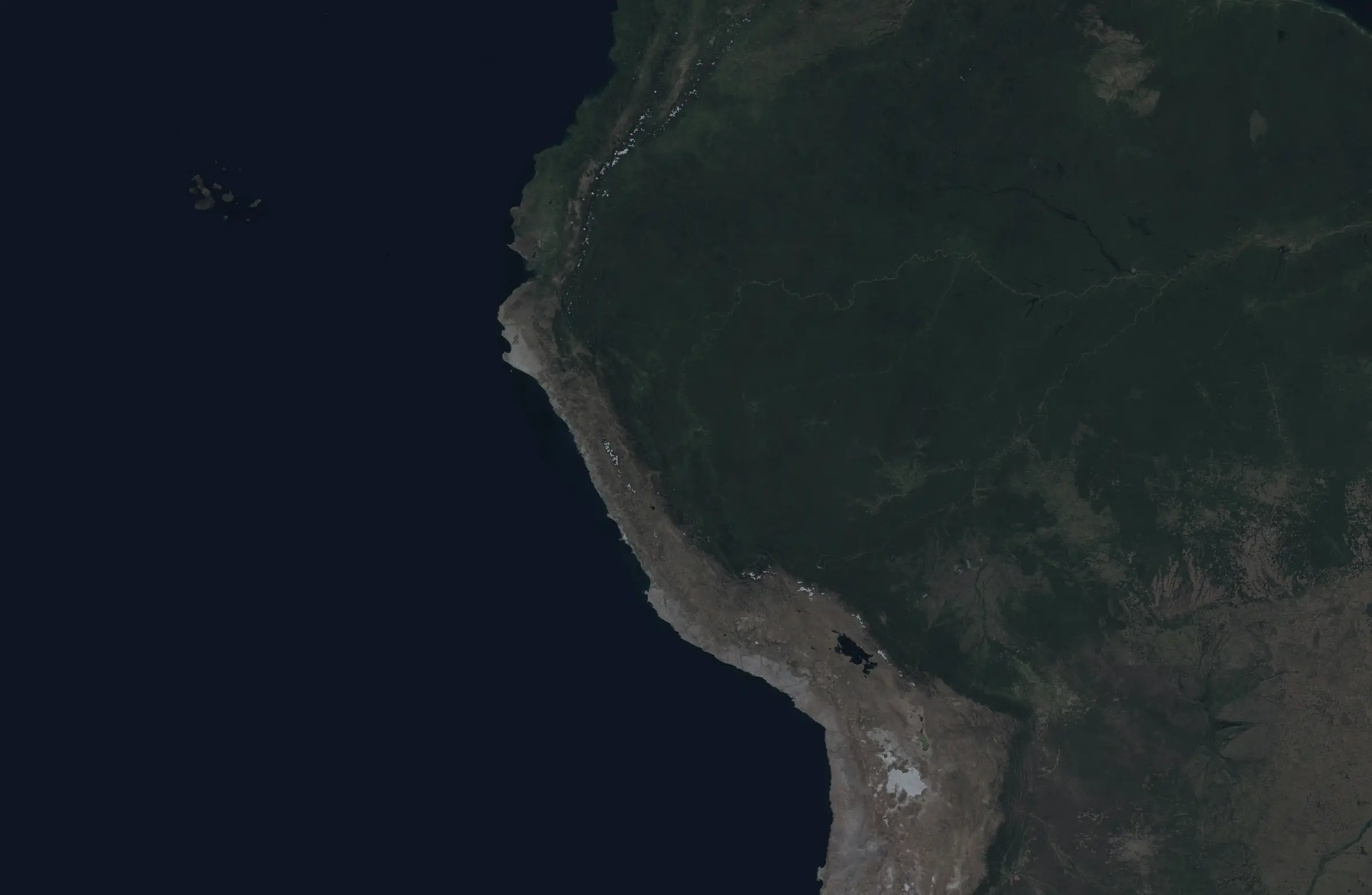
Explorer · fire hotspots 2003 – 2025
See where Peru burns,and when it burns most.
Twenty-three years of satellite fire hotspots, harmonized across MODIS and VIIRS. Pick a region, a year and a month to see how that season compares and what the land looks like where it burned.
Loading the harmonized series…
Data: NASA FIRMS (MODIS C6.1 and VIIRS 375 m, vegetation fires). Boundaries: geoBoundaries. Places: GeoNames (CC BY 4.0).